Geodesy, Cadastre, Photogrammetry
RAYCHEV & CO.
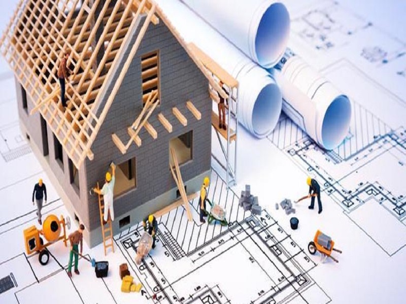
Raychev & Co. Ltd. is a surveying company based in the town of. Varna. The company is built by a young responsible team with all necessary licenses for work. The main activity is in the field of cadastre, investment design, surveying in construction and aerial surveying - photogrammetry.
SURVEYING SERVICES
RAYCHEV & CO
is a company specialized in the field of Geodesy, Cadastre, Investment design and photogrammetry. We will offer you:
- free consultation
- competitive prices
- short deadlines
- professional attitude
REFERENCES
Excellent partner!
I am extremely pleased with your services. They respond quickly and the quality is at a very high level. Keep it up, bravo!
Frequently Asked Questions in Surveying
Documents required:
-document of ownership
- sketch.
No need to prepare your own stakes, we have some 40 cm high and sprayed with red spray.
Tachymetric photo of the property
Tracing plan
Vertical layout
Cartogram of land masses
Yes, if the building was built before 2001, a declaration to this effect must be filled in and certified by a notary.
Current sketch
Document of ownership
Extract from the zoning plan
It depends on the size and complexity of the task, as well as your specific requirements. We will provide you with a timeframe when we provide the quote for the services.
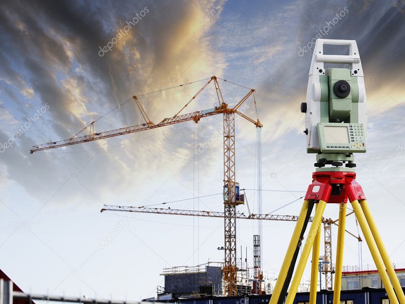
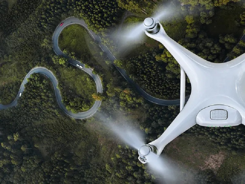
We use a variety of high-precision equipment, including GPS, total stations and drones, to ensure accurate and reliable measurement data.
Yes, we offer consulting services on a variety of land surveying topics, including land division planning, boundary dispute resolution, and geospatial analysis.
The cost of surveying varies depending on the size and complexity of the property as well as the specific services requested. We will provide you with a detailed quotation before we start any work.
