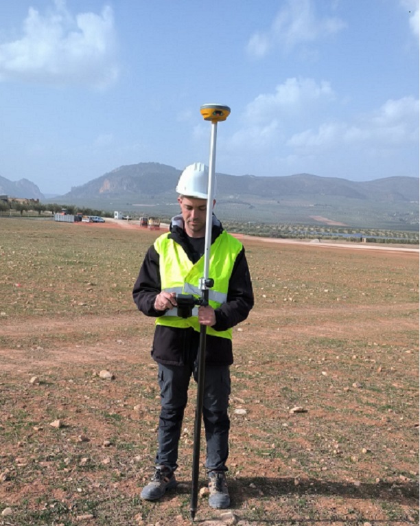
Setting-out is the reverse of surveying. We take the coordinates of the plot's boundary points from the cadastral map and find them on the ground with GPS or a total station. Each point is marked with a stake.
You don't need to prepare stakes: we bring our own, 40 cm tall and marked with red spray paint. The boundary is then easy to see and can be used for a fence, a building or a conversation with your neighbour.
If you don't have a sketch, we can tell you how to order one or obtain it as part of the service.
Send us a copy of the proof of ownership and the sketch in advance, so we can check the coordinates before the visit. If the plot is overgrown, clear access to its corners as far as possible. If you suspect a dispute with a neighbour, it is a good idea to notify them and have them present: the boundary is then shown to both sides at once and misunderstandings are avoided.
Send us a copy of the proof of ownership and the sketch in advance, so we can check the coordinates before the visit. If the plot is overgrown, clear access to its corners as far as possible. If you suspect a dispute with a neighbour, it is a good idea to notify them and have them present: the boundary is then shown to both sides at once and misunderstandings are avoided.

Write to us now
We will reply as soon as possible


Cookies on this site
We use necessary cookies to make the site work. With your consent we also use Google Analytics for visitor statistics and show the Google Maps map. You can change your choice at any time. Cookie Policy