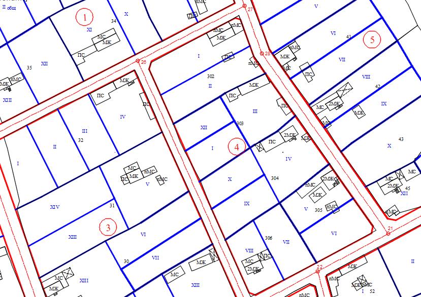
A detailed development plan sets what can be built on a plot and how: the boundaries of the regulated plot (UPI), the building lines, the height and the density. Without a plan in force it is often impossible to obtain a design visa and a construction permit.
The types of plan we work with:
We prepare the whole detailed development plan, not only the surveying part. For an additional fee, we also handle the paperwork through the approval procedure.
We explain the difference between a land plot and a regulated plot in the article Regulated plot and land plot.
Preparing a detailed development plan requires:
The municipality may also ask for a brief, a topographic survey and statements from the utility companies.
Each stage has its own timeframes at the municipality. That is why a detailed development plan is the service where good preparation at the start helps most.
Each stage has its own timeframes at the municipality. That is why a detailed development plan is the service where good preparation at the start helps most.

Write to us now
We will reply as soon as possible


Cookies on this site
We use necessary cookies to make the site work. With your consent we also use Google Analytics for visitor statistics and show the Google Maps map. You can change your choice at any time. Cookie Policy